Raleigh, Durham warming: Data shows cities have several urban heat islands
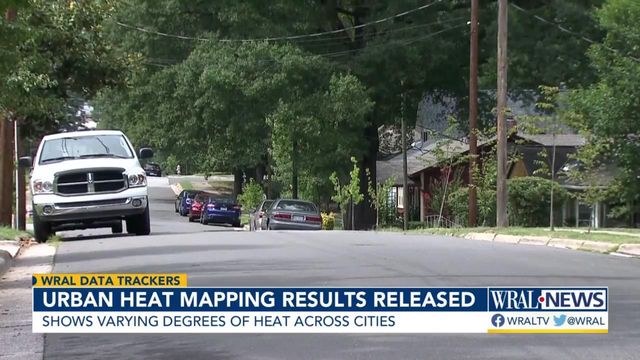
Many people might not associate a warming climate with cities and urban areas, but a new project shows how much the increasing global temperature it is actually affecting the Triangle.
In July of last year, volunteers in Raleigh and Durham used heat sensors mounted on cars and bicycles or carried in their pockets to collect data about how warm areas were.
More than six months and nearly 100,000 data points later, the results are in.
"It's important to understand that extreme heat is not distributed evenly or equitably across environments," said Myleigh Neill, with the State Climate Office of North Carolina.
Neill was one of several presenters Thursday night, sharing the findings. One of the most interesting points: parts of our cities are warmer than researchers thought.
Originally it was believed that the difference in the hottest and coolest parts of the cities varied by 6 degrees. However, the data collection reveals that it is actually a wider margin - Raleigh differed 9.6 degrees; Durham, 10.4.
The information and Thursday's event put the event for interested community members, in association with partners including NOAA, the National Weather Service, the NC Museum of Natural Sciences, the Museum of Life and Science, Durham County and Activate Good. All of those groups were organizers for the July event.
On the data collection day, volunteers went around the city three times - early in the morning, late afternoon and in the evening to gather readings.
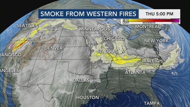
Both Raleigh and Durham recorded hotter temperatures along major roadways - Capital Boulevard and N.C. Highway 147, respectively - during the early part of the day. Researchers noted that during this time, the Triangle appeared hazy and temperatured didn't reach as high as forecasted due to smoke blowing in from wildfires out west. Still, as the day progressed and temperature climbed to 88.8 and 88.6 in each city, urban heat islands appeared.
"The term urban heat island refers to the fact that metropolitan areas tend to get much warmer than their outlying regions, especially during summer," said Neill. "Temperatures on hot days can be amplified by paint and dark surfaces like roads, parking lots and buildings. These surfaces absorb and retain [heat] during the day, and then they radiate that heat back into the air. And this drives a significant increase in air temperature and heat index in certain areas within a city which can get much hotter than green areas."
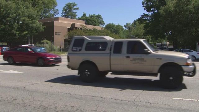
The hottest areas in each city during the hottest part of the day included North Carolina Central University and Northgate Mall area in Durham and the State Fair grounds, Ridge Road to Hillsborough and downtown in Raleigh.
Historically Black communities, which were redlined and have long lacked investment, recorded higher readings, too.
"There's a clear temperature difference between these areas today that are tied to decisions made in the past," Neill explained. "When we talk about extreme heat, it's not only a climate issue, but it's also a social and economic justice issue as well."
Heat islands lead to increased risks for a number of vulnerable populations including the elderly, children, and outdoor and essential workers.
As both cities work to address a warming climate, they've launched projects and released mitigation plans like incorporating smart surfaces including green roofs and porous pavements as well as adding trees into city planning. Next, Raleigh and Durham city officials say they’ll be working with departments and residents to figure out where we need to focus solutions and how they’re different depending on the community and community members.


